

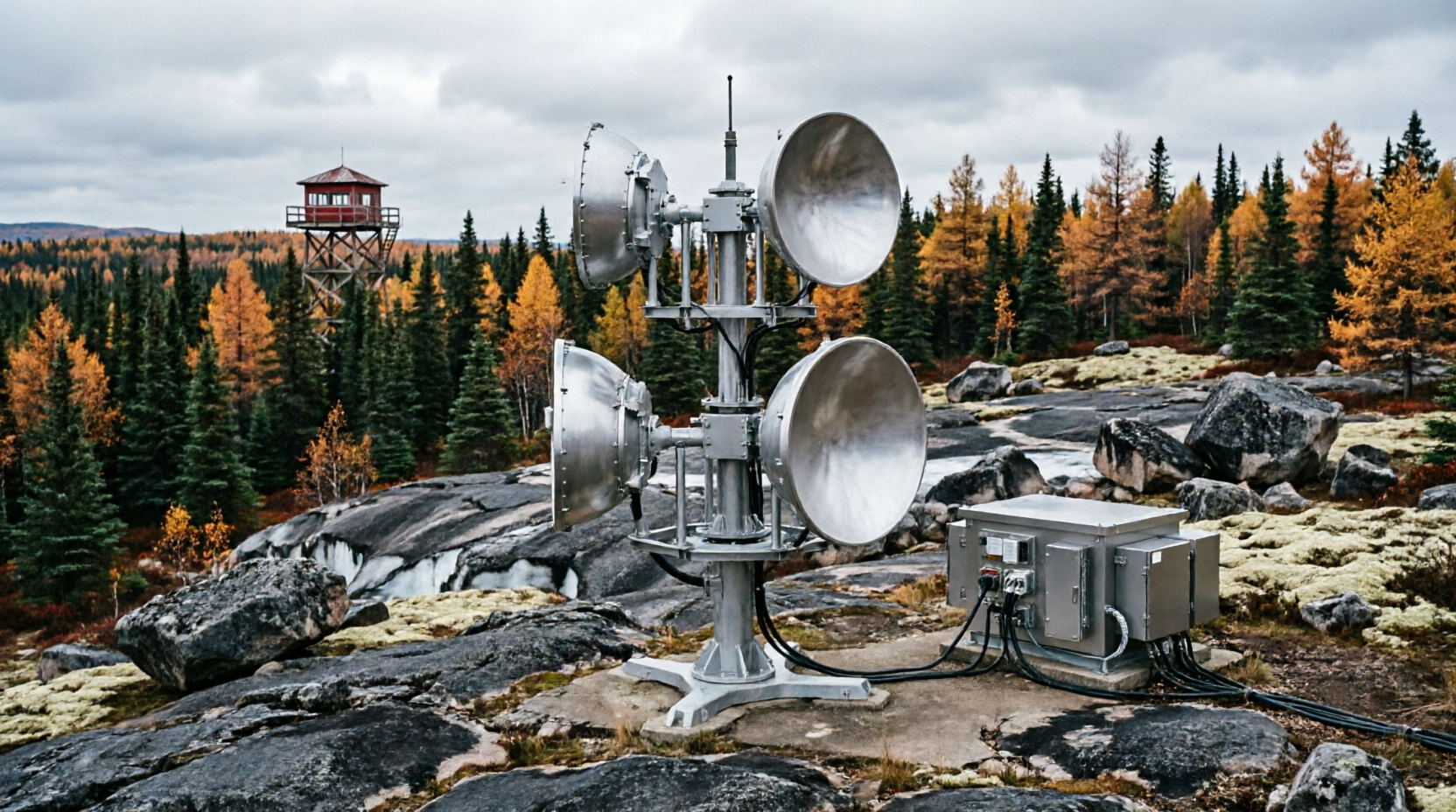
Despite these promising advancements, experts caution that technology is not a silver bullet. The vastness of Canada’s landmass means that satellite revisit times, while improved, still leave small temporal gaps. Furthermore, dense smoke plumes from existing large fires can obscure optical sensors, requiring a heavy reliance on synthetic aperture radar (SAR), which is less precise for pinpointing small heat sources. There are also ongoing concerns about data latency and the need for robust, high-speed communication networks in remote areas to ensure alerts are received without delay.
Advertisement
Crucially, technological advocates emphasize that AI and satellite tech must be integrated with, not replace, Traditional Ecological Knowledge. Indigenous fire guardians and land managers possess centuries of understanding regarding local landscapes, historical burn patterns, and cultural fire practices. The most successful detection and response models in 2026 are those that fuse algorithmic precision with on-the-ground human expertise, creating a holistic, community-led approach to forest stewardship.
As climate change continues to extend the fire season and increase the frequency of extreme weather events, the window for effective intervention shrinks. The integration of AI and satellite technology represents a vital evolution in Canada’s ecological defense strategy. While it cannot single-handedly stop the megafires driven by a warming planet, it provides firefighters and communities with the most valuable resource of all: time.