

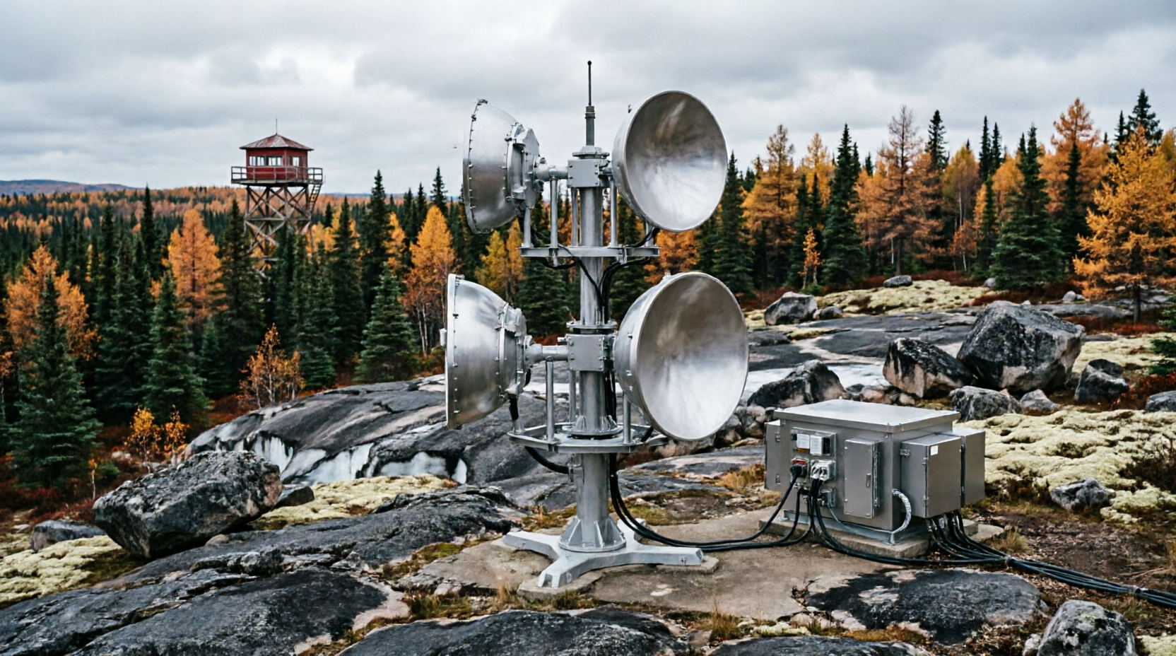
The devastating wildfire seasons of the early 2020s served as a brutal wake-up call for Canada, fundamentally altering the nation’s approach to forest management and emergency response. As the 2026 fire season approaches, a quiet revolution is taking place high above the boreal forest and within the servers of Canadian research institutions. A new, integrated network of artificial intelligence and advanced satellite technology is being deployed to detect wildfires in their earliest, most containable stages, offering a glimmer of hope in the fight against an escalating climate crisis.
Advertisement
Historically, wildfire detection in Canada’s vast, remote northern territories relied heavily on lookout towers, periodic aerial patrols, and ground reports from Indigenous communities or forestry workers. This fragmented system often resulted in critical delays, allowing small ignitions to grow into uncontrollable infernos before resources could be mobilized. Today, the Canadian Space Agency, in partnership with provincial forestry ministries and tech startups, has operationalized a next-generation monitoring grid. This system leverages data from the RADARSAT Constellation Mission and new low-Earth-orbit microsatellites equipped with high-resolution thermal infrared sensors.
The true breakthrough, however, lies in the artificial intelligence algorithms processing this massive influx of data. Machine learning models, trained on decades of historical fire data, weather patterns, and topographical maps, can now distinguish between genuine thermal anomalies and false positives, such as industrial heat signatures or sun glare on lakes. When the AI detects a potential ignition, it automatically cross-references the location with real-time data on wind speed, humidity, and fuel dryness. Within minutes, an alert is dispatched to regional dispatch centers and local Indigenous fire guardians, often before a plume of smoke is even visible to the human eye.
Early pilot programs in British Columbia and Alberta have already demonstrated the efficacy of this technology. Last summer, an AI-driven alert identified a lightning-strike ignition in a remote region of northern Alberta. Because the system flagged the high-risk weather conditions, a rapid-response team equipped with water-dropping helicopters was dispatched immediately. The fire was contained to less than two hectares, preventing what could have easily become a multi-thousand-hectare disaster threatening nearby communities.